The scope is broad, though the focus here is on e-learning; its potential, practice and problems - with an angle on creativity (writing, advertising and TV, fine art, design), health care (chronic illness: asthma awareness), history (First World War), sport (swimming teaching and coaching), creative problem solving, employability, applied 'learning and development' (L&D) and because I am a Green Party member and elected councillor: sustainability and the environment.
Started on 6th Feb 2010 this blog now covers seven Master of Arts Open and Distance Education (MAODE) modules and runs to over 5,000 posts. Over the four years of studying for an MA ODE I completed: H807, H800, H808, B822 and H810. After graduation, I then took H809 and H818 as Continual Professional Development (CPD). B822 is the memorable Open University Business School module 'Creativity, Innovation and Change'.
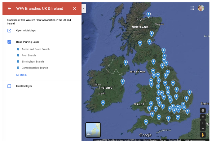
In May 2015 I became the Digital Editor at The Western Front Association and from 2015 to 2018 I completed an MA in British History and the First World War at the Universities of Birmingham and then Wolverhampton.
Since graduating with the MA ODE I have taken a further 18 MOOCs, largely with FutureLearn and Coursera. I am a mentor on Coursera's 'Learning How to Learn' and 'Photography' courses. In March 2016 I attend the Coursera 'Partner's Conference‘.
I became a Learning Technologist at Greater Brighton MET in March 2018, gained Level 1 & 2 Google Educator Certification in 2020. I have come proficient on education platforms such as Planet eStream and ThingLink and tools such as Google Meet, Screencastify and WordPress.
In 2020 I started a PGCE at the University of Brighton which I will take part-time and complete in 2022. The previous study in the subject is providing an invaluable theoretical background and understanding of online learning.
I have 18 years swim teaching and coaching experience. I am a Level II qualified Swim England Swimming Teacher and Coach and seeking to gain my 'Senior Club Coach' Level III certification. I also find time to sail - crossing the Atlantic via Cape Verde in 2015 and skiing.
If the above doesn't occupy me enough already enjoy life drawing and singing Bowie songs while playing the guitar.
External Blogs: www.mindbursts.com, www.swimcoach.blog.
Twitter @ JJ27VV.
YouTube: Jonathan Vernon
Linkedin: Jonathan Vernon. Active in numerous e-learning and other groups.